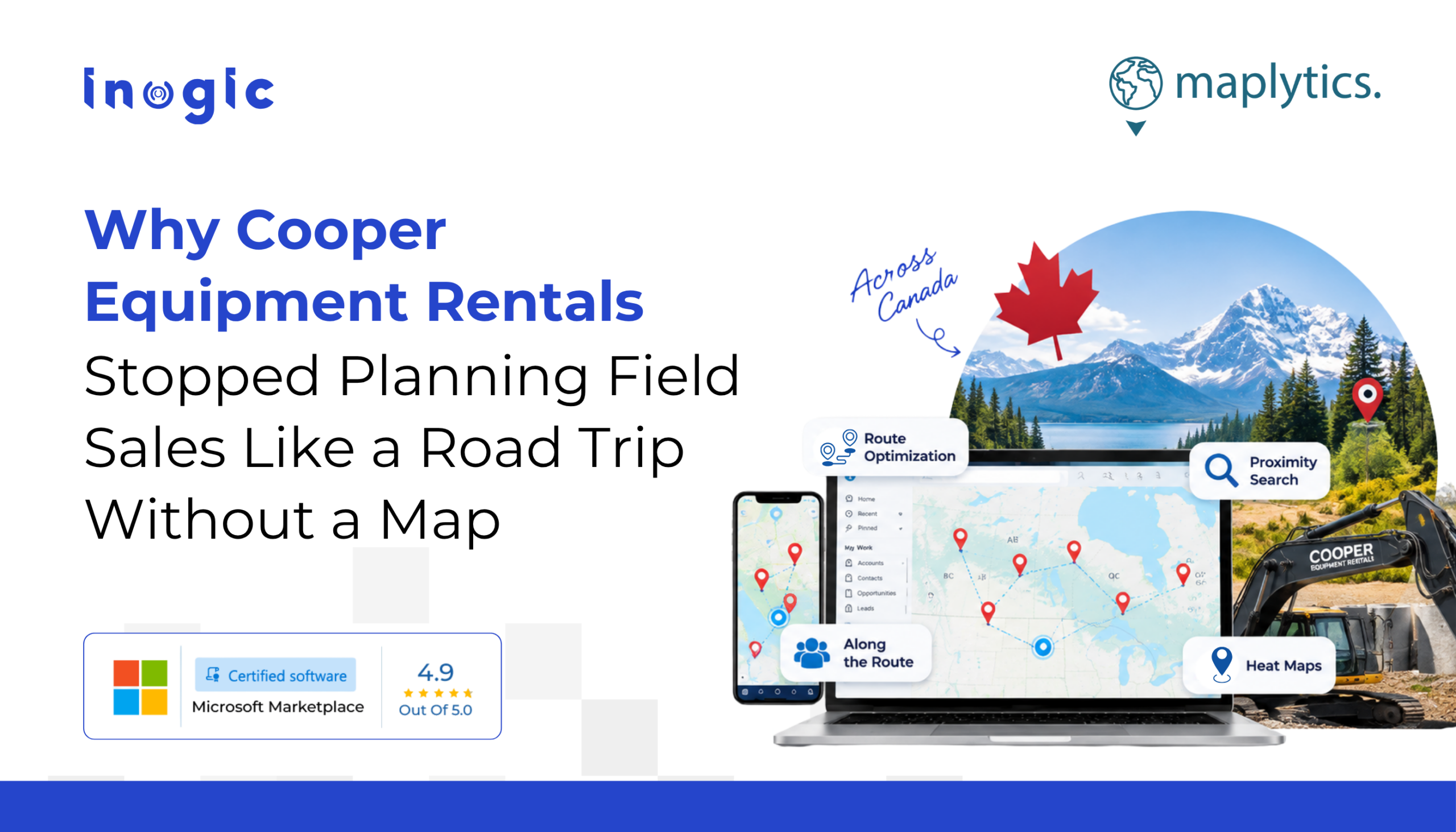
Let’s talk about Canada for a second.
Canada is the second largest country in the world. It covers nearly 10 million square kilometres. It has coastlines on three oceans. It has cities separated by distances that Europeans use to measure international travel. When Canadians say “it’s just a short drive,” they mean something categorically different from what the rest of the world means.
Now imagine you are a field sales rep for Canada’s leading construction equipment rental company. Your territory is not a neighbourhood. It is not a district. It might be an entire province. Your accounts include active contractors on live construction sites, prospects scattered across industrial zones, and rental equipment that is constantly moving between locations. Your CRM has thousands of records. Until recently, every single one of them existed as a row in a list, with no indication of where anything actually was relative to anything else.
This is what life looked like for the team at Cooper Equipment Rentals before Maplytics.
| Key Takeaways
1. A CRM list tells you what you have; a map tells you where it is and what to do next. 2. Cancelled appointments and early finishes stop being wasted time the moment you can see what is nearby. 3. Route Optimization, Proximity Search, and Along the Route together turn a rep’s day from reactive to deliberate. 4. Heat Maps give managers the strategic view that individual rep dashboards never could. |
What was missing for the Equipment Rental Suppliers?
Cooper Equipment Rentals operates 80 branch locations across Canada. They rent aerial lifts, heavy equipment, excavators, generators, climate control units, pump and power systems, and trench safety gear- basically, if a construction site needs it, Cooper probably has it.
Their sales reps cover this network across one of the most geographically demanding territories in the world.
For a long time, their CRM held thousands of accounts, opportunities, construction sites, and prospects, and none of it was visible on a map. It was all just a list. A very, very long list.
This meant that every morning, a rep planning their day did the mental equivalent of trying to organize a road trip by reading a spreadsheet rather than looking at an atlas. They would manually check addresses, estimate drive times, and, inevitably, make decisions based on habit, proximity as guessed rather than calculated, and the accounts they happened to remember that morning.
When a site visit ended early? Or a meeting got cancelled? That freed-up time mostly just evaporated. As without a way to instantly see what was nearby, the easiest decision was always to move on to the next confirmed appointment, even if there were three high-value prospects within a ten-minute drive that nobody had visited in months.
What changed in CRM with the entry of a Map?
Here is what changed when Cooper integrated Maplytics with their existing Microsoft Dynamics 365 CRM. Every record became a pin. Every construction site, every account, every prospect, every active rental location, all plotted on a live, interactive map that reps and managers could open directly inside their CRM.
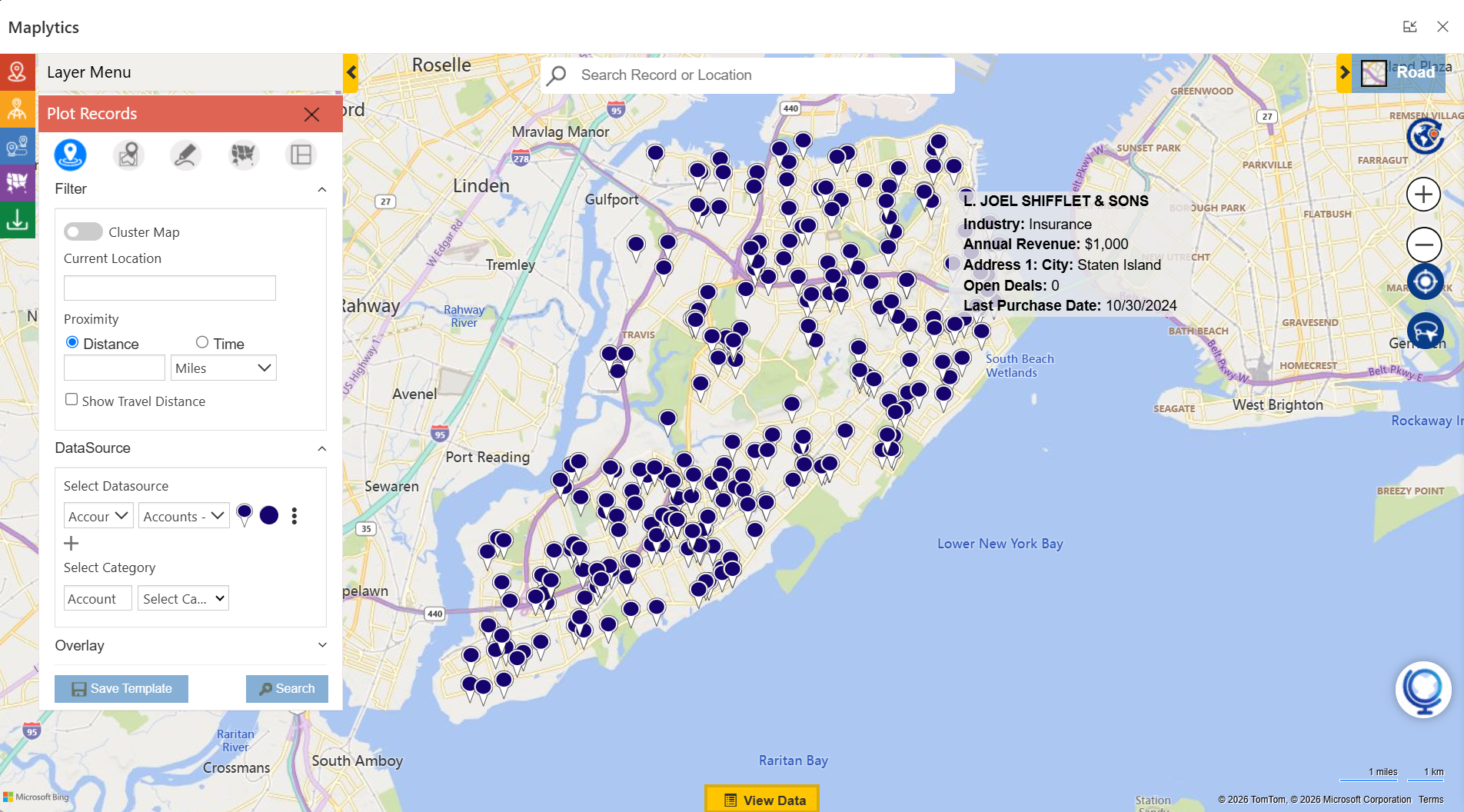
It did not happen in a separate tool, or through an export, or even by pulling data into a third-party platform that needed its own login and its own maintenance. It happened inside the CRM they already used, every single day.
Suddenly, instead of a list of accounts that told you nothing about where anything was, you had a map that told you everything. Color-coded pushpins distinguished active customers from prospects, rental sites from construction sites, high-priority accounts from long-lapsed ones. The geographic picture of an entire sales territory, which had previously existed only in a rep’s head, was now visible to everyone.
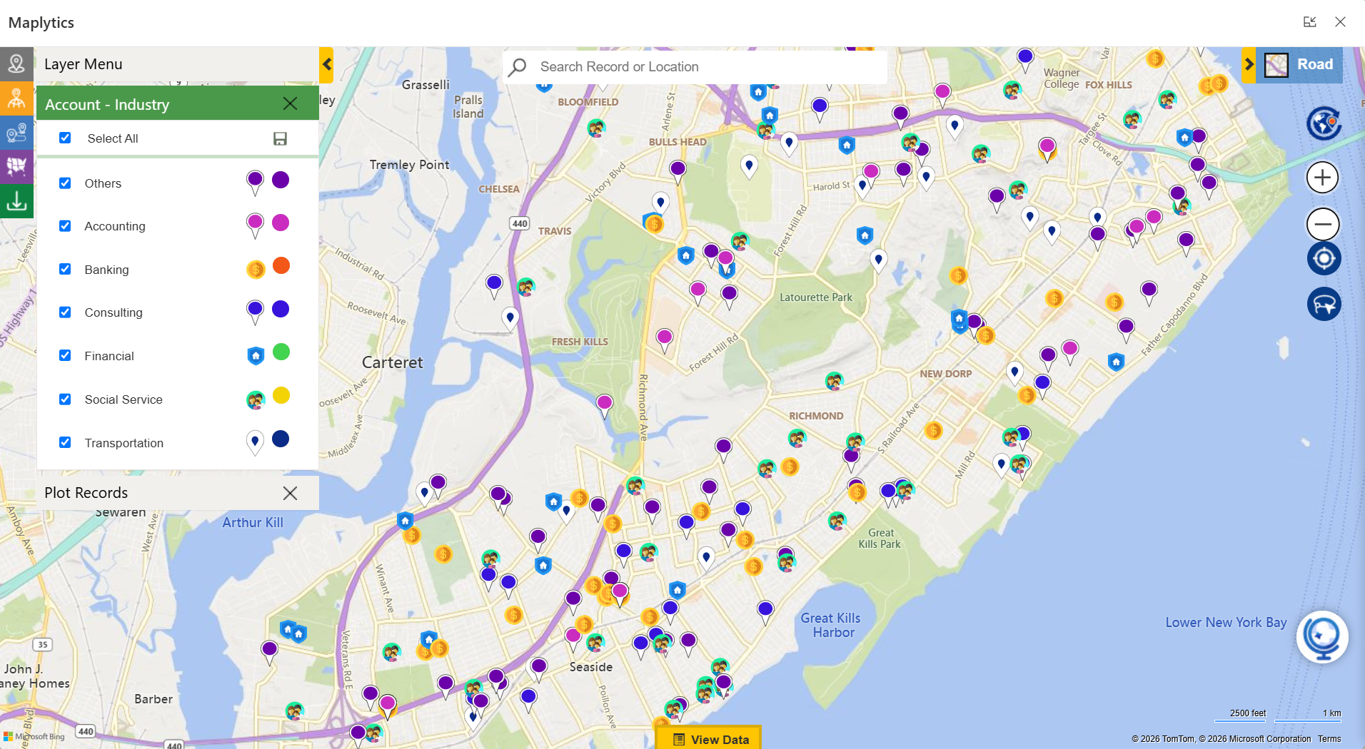
What Features Changed the Daily Operations?
Route Optimization meant that instead of planning a route based on whatever order appointments happened to land in the calendar, the system automatically sequenced every stop into the most efficient path. This meant less backtracking, less time in the car, and more time on-site, with customers, where it actually matters.
Proximity Search meant that the cancelled meeting and the early finish were no longer wasted time. A rep could instantly surface every nearby account, prospect, or construction site within a defined distance of their current location, and turn a gap in the schedule into a productive conversation that nobody expected.
Along the Route meant that even the drive between confirmed stops became an opportunity. Sites and prospects near the planned path surfaced automatically, letting reps add productive stops without meaningfully extending their day.
Save Route meant that the rep who covers the same cluster of contractors every week didn’t have to rebuild their route from scratch each time. Plan it once. Save it. Use it again. Like a playlist, but for construction sites.
Heat Map Visualization meant that Cooper’s managers could step back from the individual rep’s day and look at the big picture where customer density was high, service gaps existed, a new branch might make strategic sense, and where the team was spending time relative to where the opportunity actually was.
What does the business gain out of this?
- More visits per day.
- Lower fuel costs.
- Fewer wasted gaps between appointments.
- Better strategic decisions about where to grow and
- a sales team that operates from a live geographic picture of their territory rather than a mental one that is always at least slightly out of date.
For a company operating 80 branches across a country the size of Canada, that is not a small thing. That is the difference between field operations that scale with the business and field operations that top out when the spreadsheet becomes too large to navigate.
The full story, with specifics on how Cooper uses each feature, what the team actually said about it, and what it looks like in practice inside their Dynamics 365 environment, is worth reading in its entirety.
Honestly, the scale of what it takes to run a national equipment rental operation across Canada, and the elegance of how a map inside a CRM addresses that complexity, is one of those stories that makes you look at your own CRM list view and ask a quiet, uncomfortable question.
Why is this still a list?
Read the full Cooper Equipment Rentals success story here.
Commonly Asked Questions
Q1: Is there a Google Maps integration for Dynamics 365?
Yes. Maplytics offers Dynamics 365 Google Maps integration, allowing users to plot CRM records, plan routes, and push directions directly to Google Maps alongside support for Bing, Azure Maps, and Mapbox, so teams aren’t locked into a single map provider.
Q2: How do you map Dynamics CRM data on an interactive map?
Maplytics enables map integration for Dynamics 365 by plotting records like accounts, leads, and opportunities directly from your CRM onto an interactive map. This gives sales and service teams a visual, location-based view of their Dynamics 365 data instead of static lists.
Q3: Does Dynamics 365 support Azure Maps integration?
Yes. Maplytics supports Azure Maps integration with Dynamics 365, letting organizations visualize CRM records, run searches, and optimize routes using Microsoft’s native mapping infrastructure, a natural fit for teams already standardized on the Azure ecosystem.
Q4: What is route optimization in Dynamics CRM, and how does it work?
Route optimization in Dynamics CRM (via Maplytics) calculates the most efficient path between multiple appointments or stops. Users can set an origin, destination, and waypoints, then optimize by shortest time, shortest distance, or direction, while avoiding traffic, tolls, or highways as needed.
Q5: Can sales teams use route optimization for territory-based travel in Dynamics 365?
Yes. Sales route optimization in Dynamics 365 groups appointments geographically, helping reps plan multi-stop trips within their assigned territory instead of crisscrossing it inefficiently, reducing both travel time and unnecessary mileage.
Q6: What is territory management in Dynamics 365, and how is it handled on a map?
Territory management in Dynamics 365 refers to defining, visualizing, and aligning sales or service coverage areas. Maplytics enables Dynamics CRM territory mapping by letting managers draw, adjust, and assign territories directly on the map, then plot accounts within each to spot gaps or overlaps.
Q7: Are sales territory maps available natively in Dynamics 365?
Not natively; Dynamics 365 doesn’t include built-in territory mapping out of the box. Maplytics adds this capability, allowing sales territory maps to be created, saved, and reused directly within the Dynamics 365 environment.
Q8: Can Dynamics 365 generate a route map for multiple appointments in a day?
Yes. Maplytics creates a Dynamics 365 route map by sequencing multiple appointments into a single optimized route, complete with turn-by-turn directions, travel time, and distance between each stop.
Q9: Is there a dedicated map view for Dynamics CRM records like leads and accounts?
Yes. Dynamics CRM maps (via Maplytics) let users view leads, accounts, opportunities, and other records geographically, with the ability to filter, search, and drill into individual record details directly from the map interface.
Q10: What’s the difference between basic map integration and full route mapping in Dynamics CRM?
Basic map integration in Dynamics 365 simply plots CRM records by location. Route mapping in Dynamics CRM goes further, sequencing those plotted records into an optimized, navigable route with waypoints, travel preferences, and export options to apps like Google Maps or Waze.
What’s More?
If you wish to combine maps, routes, schedules, and real-time updates to make a difference, Maplytics with MapCopilot, its AI assistant, is available immediately for Dynamics 365, Power Apps, Power Pages, and Dataverse. Organizations interested in adoption, 15-day free trials, or personalized demos are encouraged to contact Maplytics’ sales team at crm@inogic.com
For more information, visit our website or Microsoft Marketplace. One can hop onto the detailed Blogs, Client Testimonials, Success Stories, Industry Applications, and Video Library for quick query resolution. Technical docs for the working of Maplytics are also available for reference.
Please leave us a review or share your experience on the Microsoft Marketplace or the G2 Website.